
As-built survey and documentation of existing buildings
Accurate documentation of the existing building as a base for design and reconstruction. One scan, complete DWG plans in days, not weeks.
What as-built documentation is and when you need it
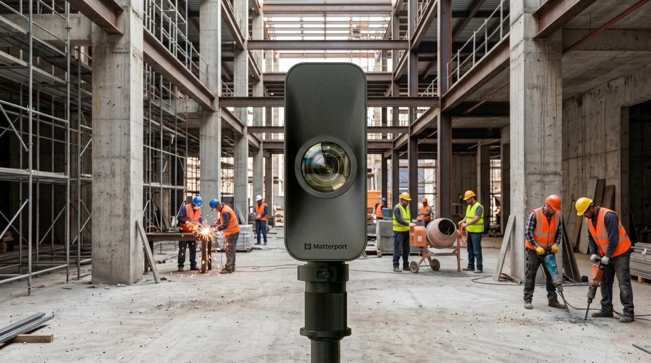
As-built documentation is an accurate representation of a building exactly as it stands today: floor plans, sections, and elevations that match the real conditions on site. You need it before reconstruction, adaptation, permitting, or a change of use, when design has to start from a reliable base. With 3D LiDAR scanning we capture the entire building with millions of measurement points at ±20mm accuracy, and our team of architects produces DWG drawings from that data. LiDAR captures only what is visible: hidden installations are added from existing documentation or clearly marked as an assumption.
What you get
DWG plans and sections
Floor plans per level, cross and longitudinal sections, and elevations on organized layers, ready for AutoCAD, Revit, or ArchiCAD.
e57 point cloud
A dense point cloud with millions of measurement points, a permanent and measurable reference for the entire building.
3D virtual tour
An interactive tour with measurement tools, as a documentation bonus: access the space remotely at any time.
Schematic floor plans
Plans auto-generated from the scan, for quick orientation and area checks.
How as-built documentation is produced
On-site scanning
One operator scans a typical building in a single day, quietly and without disrupting use of the space.
Data processing
We register the scans, run quality control, and prepare the point cloud and virtual tour.
Drawing production
Our team of architects produces DWG plans, sections, and elevations from the point cloud.
Delivery
We deliver the complete documentation in days, not weeks, after your review and corrections.
What determines the price of as-built documentation
We do not publish prices upfront because every building carries a different scope of work. The price is driven by the following factors:
Building area
Total floor area and the number of levels determine the scope of scanning and drawing.
Geometric complexity
Irregular spaces, decorative elements, and non-standard heights require more processing time.
Scope of deliverables (LOD)
Whether you need floor plans only or a complete set of sections, elevations, and installation layers.
Deadline
An expedited delivery affects how the team schedules the work.
KYUBIX is not a licensed geodetic surveying bureau. As-built documentation supports design and reconstruction, it does not replace a geodetic survey or land survey report.
As-built: 3D scan vs. manual measurement
Frequently Asked Questions
Get a quote for as-built documentation
Tell us about the building and the scope of documentation you need. We respond within 1-2 business days.