
3D LiDAR scanning / Digital twins
All dimensions. All data. One scan.
Point cloud, virtual tour, CAD and BIM from a single scan. Complete documentation of any building in days, not weeks.
LiDAR scanning and complete documentation
We scan existing buildings using LiDAR technology and deliver complete documentation: from point clouds and virtual tours to 2D drawings and BIM models.
3D Scanning
LiDAR scanning, point cloud, 3D virtual tour with built-in measurement tools.
As-Built Drawings (DWG)
Floor plans, sections, elevations: professional 2D drawings from point cloud data. Ready for design workflows.
BIM Modeling
3D BIM models at LOD 200 or LOD 300, in Revit and/or ArchiCAD. Architectural, structural, and MEP elements.
Virtual Tours
Interactive 3D tours with measurement tools, dollhouse view, and floor plans. Access from any device.
Point Cloud (e57)
Dense point cloud with millions of data points. Compatible with AutoCAD, Revit, ArchiCAD, and other software.
Construction Monitoring
Periodic 3D scanning during construction to document progress. A visual timeline of your project.
One person, one day, millions of data points
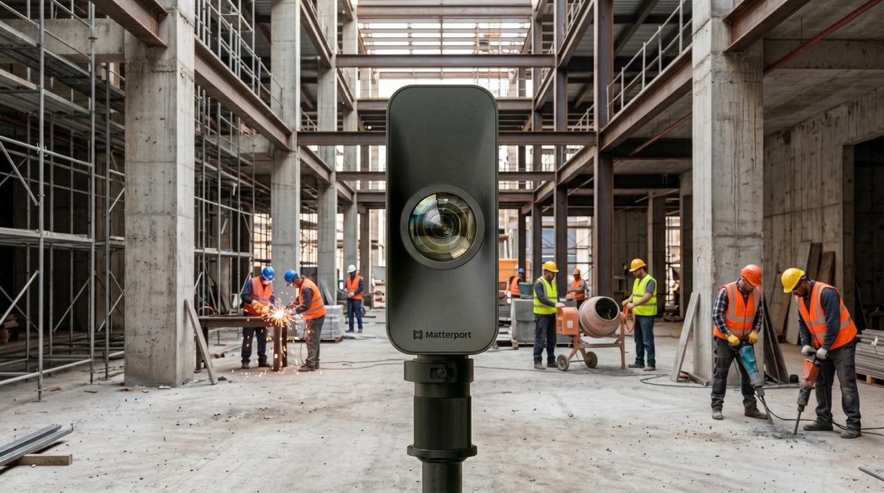
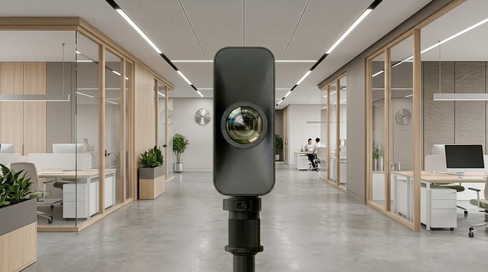
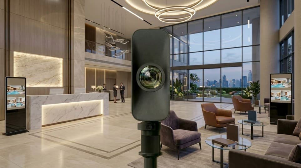
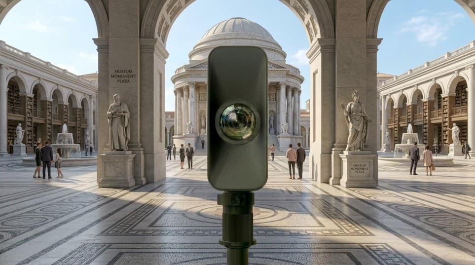
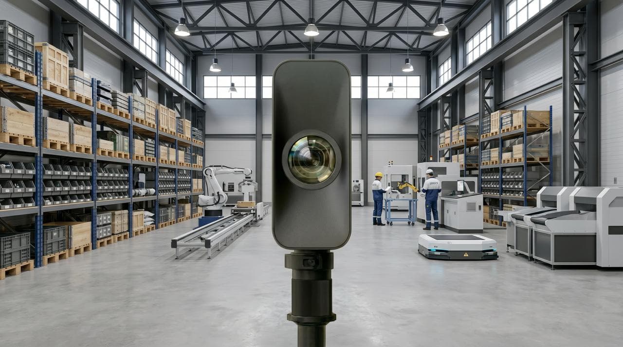
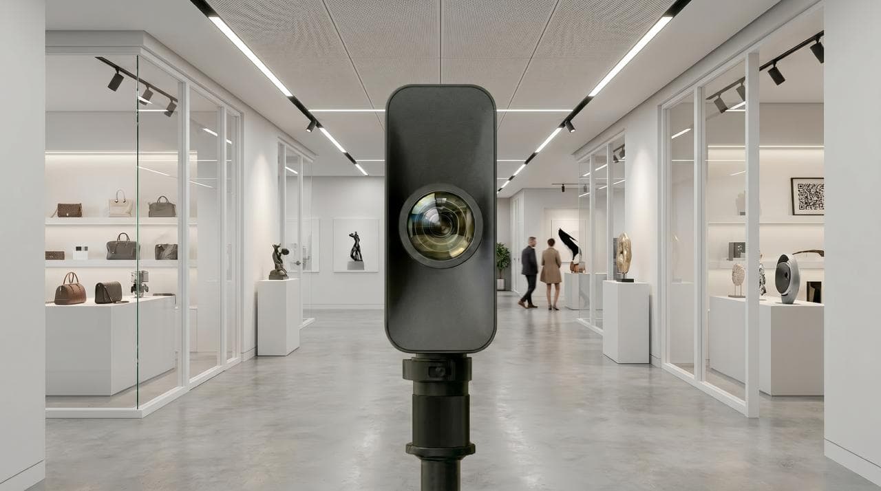
We scan for architects, developers, hotels, museums, and facility managers. Every industry has specific needs, we understand them and deliver exactly what you need.
Industries we serve
How we work
Consultation
We discuss your building, your needs, and your timeline. We define the scope and send you a quote. Free, no obligation.
On-Site Scanning
Our operator visits the site and scans the building using a LiDAR camera. One person, non-disruptive, fast.
Processing & Delivery
Data is processed, the virtual tour is published, drawings or BIM models are produced. You review and provide feedback.
Finalization
Your comments are applied, all files are delivered. Walkthrough meeting, project sign-off, done.
Why 3D scanning instead of traditional surveying?
A 3,000 m² building that would take a traditional survey team 1-2 weeks, scanned in 12 hours, with a complete digital record of every surface.
See it yourself
Walk through a building, as if you were on site.
Why clients choose KYUBIX
Precision
±20mm accuracy with millions of data points per scan.
Speed
10× faster than traditional surveying. One operator, one day.
Completeness
Everything visible is captured. No missed measurements, no return visits.
Regional Coverage
Serbia, Croatia, BiH, Montenegro, Slovenia, N. Macedonia.
Direct Communication
You talk directly with the operator and team. No corporate layers.
No Middlemen
We scan ourselves, our architects produce the drawings. Quality under control.
Frequently Asked Questions
Let's talk about your project
Every project starts with a free consultation. Tell us about your building and your needs. We respond within 1-2 business days.