
3D laser scanning of buildings and spaces
The entire space in a dense point cloud, captured in a single day. An accurate digital base for reconstruction, adaptation, and conversion.
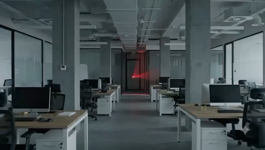
Applications, equipment, and accuracy
3D laser scanning (LiDAR capture) digitizes an existing space into a dense point cloud and is used before reconstruction, adaptation, or conversion, when accurate measurements of the entire building are needed. We scan with the Matterport Pro3 LiDAR system, at ±20mm documentation accuracy, which is sufficient for design, reconstruction, and facility management. For millimeter industrial metrology there are survey-grade providers, and honestly that is not us. Scanning is fast and non-disruptive: one operator, one day for a typical building.
What data you get
e57 point cloud
A dense point cloud with millions of measurement points, compatible with AutoCAD, Revit, ArchiCAD, Navisworks, and other software.
3D virtual tour
An interactive tour with measurement tools, available online from any device.
Schematic floor plans
Plans auto-generated from the scan, for quick orientation and area checks.
A base for further work
The same scan serves as the basis for DWG drawings, a BIM model, or a scan to BIM workflow.
How laser scanning works
Preparation and agreement
We define scope, access to the space, and deadline, and prepare the site visit.
On-site scanning
The operator captures the space position by position, indoors and outdoors as needed.
Processing and registration
We merge the scans into a single point cloud and run quality control.
Data delivery
We deliver the e57 point cloud and virtual tour, ready for further use.
What determines the price of scanning
We do not publish scanning prices upfront because they depend on the specific space. The price is driven by:
Area and number of levels
Larger and taller buildings require more scan positions and time on site.
Complexity of the space
Sprawling geometry, many rooms, and obstructions slow the capture.
Interior and/or exterior
Scanning facades and courtyards expands the scope beyond interior only.
Scope of deliverables
Whether you need only the point cloud or also drawings, a BIM model, or a finished virtual tour.
Location and deadline
Travel distance and an expedited delivery affect the schedule.
KYUBIX is not a licensed geodetic surveying bureau. Scanning documentation supports design and reconstruction, it does not replace a geodetic survey or land survey report.
Laser scanning vs. manual measurement
Frequently Asked Questions
Get a quote for scanning
Tell us about the space and what you want to get from the scan. We respond within 1-2 business days.